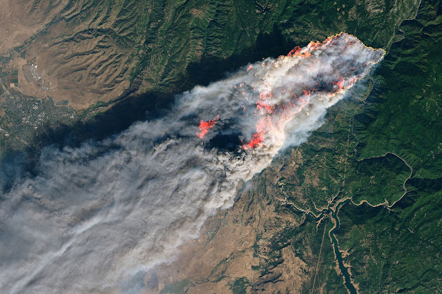
We made a prototype to visualize the 2018 Camp Fire, "the most destructive wildfire in California's history, and the most expensive natural disaster in the world in 2018 in terms of insured losses" [Wikipedia].
The Landsat pictures are stunning.
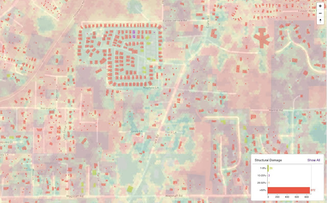
We needed a precise view of fire damage with vegetation fire index as a context.

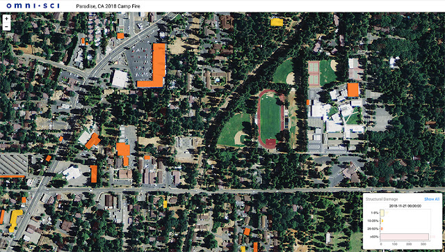
The dataset is pretty big, but zooming and filtering on large dataset on maps is one strength of the OmniSci platform. So we can filter by damage level and zoom down to individual buildings.
Switching to a sattelite basemap, we can see how much the shapefiles match the buildings. This tool could be used in rescue missions or even to prevent fires in the future by scheduling maintenance or turning off parts of the electrical grid in high-risk areas.